How to get to Kadıköy: ferry, M4 metro and Marmaray for residents
A hub view from the Kadıköy pier outwards: the ferries, the M4 and Marmaray stops, the Metrobus at Söğütlüçeşme, the roads, and what the planned M12 may change.
Most advice on how to get to Kadıköy is written for visitors. This guide is for people who might live here, so it starts at the pier and works outwards. It covers the ferries, the M4 metro, Marmaray, the Metrobus and the roads. It gives no timetables or fares, because those change. For this reason, check them with each operator before you travel.
How to get to Kadıköy by ferry: Karaköy, Eminönü, Beşiktaş, Kabataş
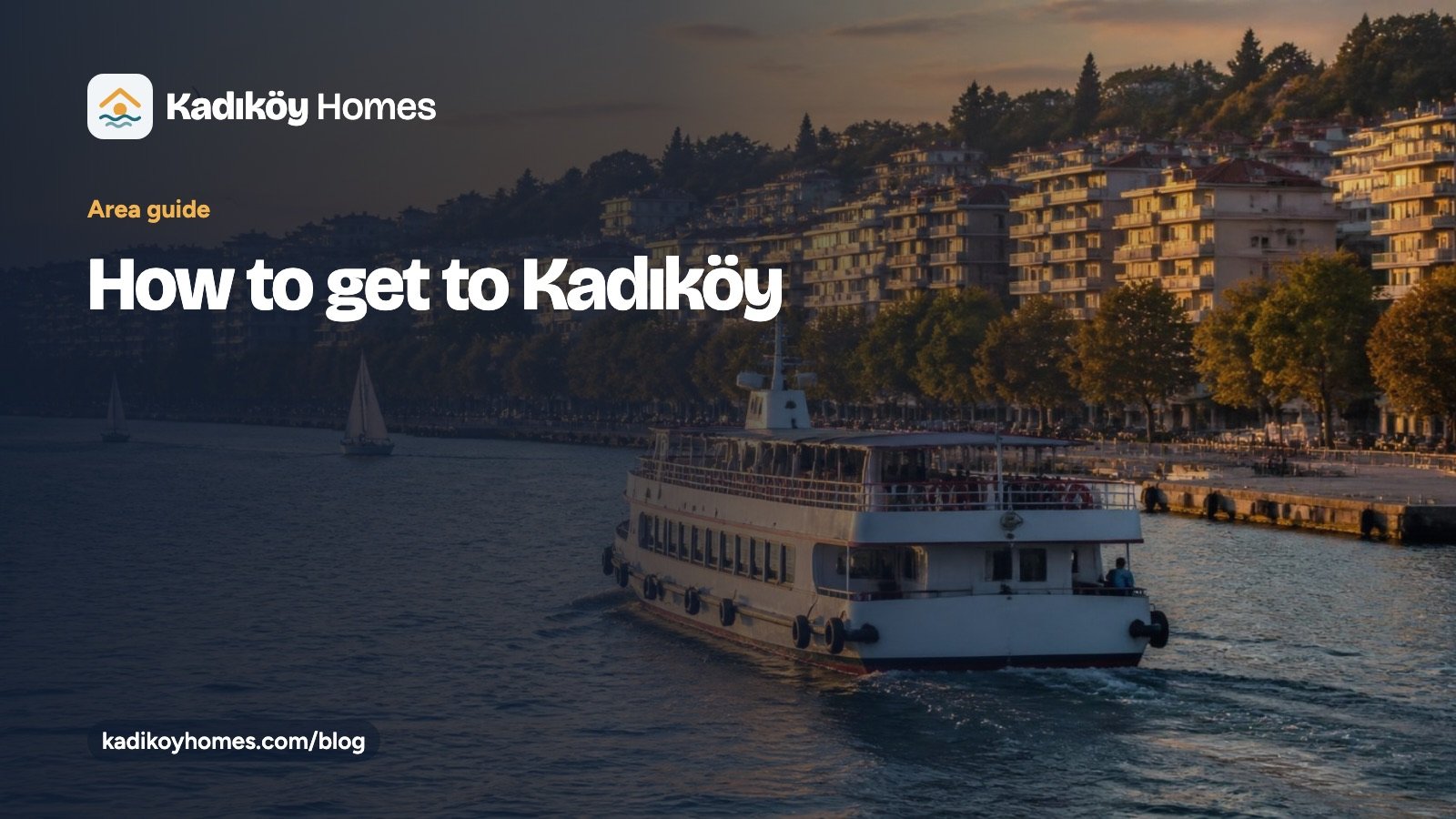
Kadıköy pier is the district’s main interchange, with a large bus and minibus terminal beside it. İstanbul Şehir Hatları runs the lines. For example, its list for Kadıköy includes Karaköy–Eminönü, Beşiktaş, Kabataş and the Haliç line to Eyüpsultan. It also includes Sarıyer, the Ortaköy–Üsküdar–Kadıköy line and the Princes’ Islands. In addition, İDO sea buses link Bostancı, Kadıköy, Yenikapı and Bakırköy. Other piers in the district are Haydarpaşa, Moda and Bostancı.
M4: Kadıköy to Sabiha Gökçen, station by station
The M4 starts at Kadıköy, its western terminus. The first section, Kadıköy–Kartal, opened on 17 August 2012. Then later sections reached Tavşantepe in 2016 and Sabiha Gökçen Airport on 2 October 2022. In total, the line has 23 stations over 33.5 km. From the pier, the first stations are Kadıköy, Ayrılık Çeşmesi, Acıbadem, Ünalan, Göztepe, Yenisahra, Kozyatağı and Bostancı. In addition, Marmaray connects at Ayrılık Çeşmesi, and the M8 connects at Kozyatağı.
How to get to Kadıköy by Marmaray: Ayrılık Çeşmesi to Bostancı
Marmaray crosses the Bosphorus in a 1.4 km immersed tube. That tunnel section opened on 29 October 2013, and the full Halkalı–Gebze line followed on 12 March 2019. On the Asian side, the stops from Ayrılık Çeşmesi to Bostancı lie inside Kadıköy. Specifically, they are Ayrılık Çeşmesi, Söğütlüçeşme, Feneryolu, Göztepe, Erenköy, Suadiye and Bostancı. As a result, a resident can reach the European shore without a ferry or a bridge.
Metrobus at Söğütlüçeşme and the D-100 bridges
The Metrobus has its Anatolian-side terminus at Söğütlüçeşme. That is also a Marmaray station, so the two services meet there. For drivers, the D-100 forms the district’s northern edge. It meets the O-2 road to the Fatih Sultan Mehmet Bridge at Kozyatağı. Likewise, it meets the O-1 road to the 15 July Martyrs Bridge at Uzunçayır.
What M12 could change (planned for December 2026)
The M12 line runs 13.03 km with 11 stations from Göztepe to Kâzım Karabekir. Officials plan the opening for December 2026, but it is still under construction. On the Kadıköy side, its stations are 60. Yıl Parkı, Tütüncü Mehmet Efendi and Sahrayıcedit. Tütüncü Mehmet Efendi is an interchange with Marmaray Göztepe. Then the line reaches Yenisahra, where it meets the M4. Treat the date as a plan until the operator confirms it.
How to get to Kadıköy: which line suits which mahalle
- Moda and the pier area: the ferry and the nostalgic Kadıköy–Moda tram.
- Göztepe: Marmaray, the M4 and, if it opens as planned, the M12.
- Caddebostan: no station carries its name, so measure the walk to Göztepe or Erenköy.
- Kozyatağı and the northern mahalle: the M4 and the M8, plus the D-100 for drivers.
Haydarpaşa station is still a shoreline landmark. However, its suburban service ended in 2013, and the building is under restoration. We give no reopening date.
For current timetables, see Metro İstanbul, and ask Şehir Hatları and Marmaray for theirs.
Find a home on your route
So tell us your daily journey, and we will match it to a mahalle. You can browse Kadıköy apartments for sale, read the buying guide for buyers abroad, or contact the team.